Sant Jordi Desvalls, Colomers and Sant Llorenç de les Arenes
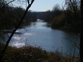
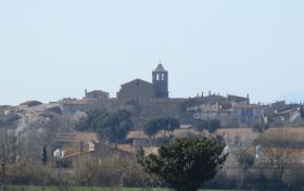 The river Ter is the main river that runs from Pyrenees through Girona to the coast of the Costa Brava by L'Escala and Torroella de Montgri where it feeds the rice paddies around Pals. The Ter has water all year round and is broad by the time it gets past Girona making a natural barrier that has to be crossed to get from the southern towns like Palafrugell to the more northern towns like L'Escala and there only a limited number of crossing points, with bridges at Verges, Torroella de Montgri and Girona.
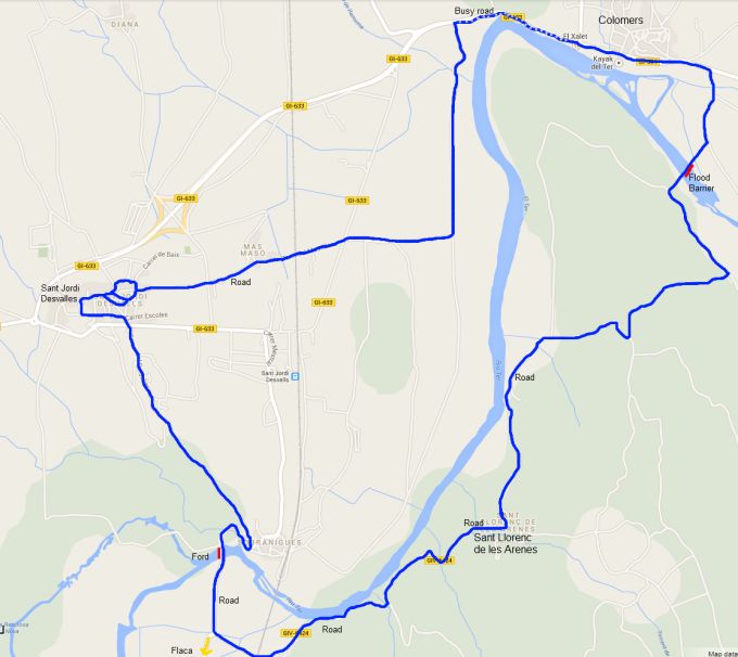
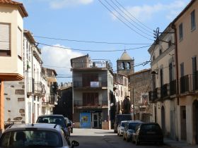 However, there is a hidden extra crossing close to Flaça and this is actually a raised ford rather than a bridge. When the river is low, the water runs under the ford, but if it gets higher water will run over the top. From our walk near Colomers we also discovered from signposts that there is another crossing for bikes and by foot close to Colomers. This walk then creates a loop linking the two crossings and the neighbouring villages, starting on the hill of Sant Jordi Desvalles.
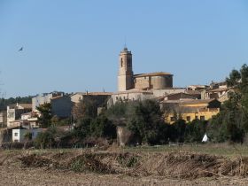
 We parked on the outskirts of Sant Jordi Desvalles which stands above the Ter and looks over the levels of Flaça across to the Gavarres. The village has a medieval heart arranged n circle of terraced streets for defensive reasons, and many of the old buildings in the centre are built on a large jutting base that would have added strength and fortification. Many of the houses have been renovated and from the Plaça underneath the church, the village has the feeling of a relatively well-to-do village with good access to Girona.
 Our route though is taking us out into the fields along Carrer Mas Mato. We're on a road but it's almost unused as it just connected to a neighbouring cluster of farm houses at Mas Mato. On the other side, we pass under the railway - this is the route from Girona to Port Bou - the main connection to France until the recent AVE road was built through the Pyrenees. As such it's quite busy with trains with both passengers and freight.
 On the other side of the bridge we head towards the fields that fringe the river. We can't see the water as the path is too far away from the edge, but we can see the line of trees that flank it's banks. The road we're on comes to an end with a T-junction with signposting pointing right towards Flaça. We take the unmarked left route though in the other direction towards Colomers.
 As we get closer to Colomers, we also get closer to the GI-633 road. The road is sort of a rat-run connecting the AP7 and N2 to the north of Girona through Colomers, Jafre and on to Torroella avoiding the busier C66 on the south side of the Ter - it's not that busy, but it is popular with people driving quickly.
So because of the geography, just outside the village, as we get our first close glimpse of the river as it follows a big right hand bend, this also makes a pinch point where the road and the river run side by side and, unfortunately, there is no easy footpath to avoid the road so we have to follow the road and walk behind the crash barriers.
 Around the corner, the walking is easier again and we can walk past the Colomers Kayak and Canoeing centre where you can rent boats and canoe down the Ter as far as Verges. We've walked this little bit before (Colomers and Jafre walk) but in reverse, so we know we have to stay by the road to start then take a right into the fields again following the bike path towards Foixa. It was seeing the signpost previously that made us realise that there's a crossing point for the river here.
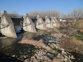
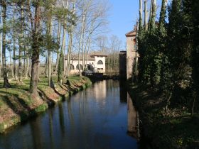 We follow the road down towards the river and then round behind an old water works and we reach a large mechanical flood barrier that spans the river. From our walks around the upper part of the river at Roda de Ter, we know that the Ter can flood as it brings water and rain down from the Pyrenees to the sea. The barrier here is presumably to protect the downstream towns of Torroella.
We cross the barrier - it's fully open and the river looks very benign as it runs over the wier and rocks. On the other side it's just woods and the occasional field with no sign of habitation. We're on a track through the woods and have to be careful to take the first right we come to up a small hill and then another right on the other side which brings us out to the first houses of Sant Llorenç de les Arenes - a hamlet of older houses with gardens that feels quite isolated. We can also see the river now beneath us on the left. The path is road once more and we continue through the heart of the hamlet and then out the other side past more renovated farmhouses situated above the river and we could almost be walking along the Dordogne with the French sense of a route along a gentle river valley.
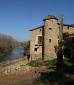
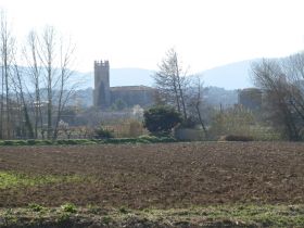
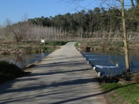 The road turns away from the river for a while and we pass under another railway bridge and on past an old factory mill house with a castle-like tower and palm trees in the garden. We reach the road that takes us down to the ford at Sobranigues that connects Flaça to the other side of the Ter. It's popular with locals as a connection so there are a few cars that pass us on the road. At the junction we can see the old church and village at Flaça in the distance. Many visitors only see the new area around Flaça station, so don't realise that the town also has a well-preserved and slightly separate older part.
The ford itself takes the form of a low bridge with water passing underneath. The first time we found this route there was more water and we had to drive through the river as a proper ford. We find it at lower water, with the river passing underneath the ford into a broad pool under the rocks as it curves to the left beneath the village. It's a very pleasant place to stop and there are places to explore the shore line and river beaches along the river nearby.
After taking a break we follow the road up to the houses of Sobranigues and then take a track to the left that curls around the hill, past a couple of farms, and we find ourselves back in Sant Jordi Desvalls.
Neighbouring walks: Colomers and Jafre - Rupia and Foixa - Madremanya, Els Angels, Sant Marti Vell - Bordils and the tree plantations of the Ter - Celra, Juia and the Castle of Palagret - Cervia de Ter - Roman fort at St Julia de Ramis (Girona)

 Walks and other things